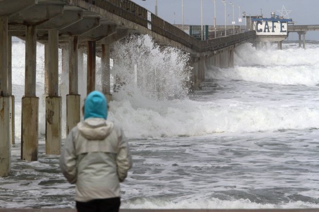
NOAA's Climate Prediction Center declared an El Niño on Thursday, June 11, and gives a 63% chance it strengthens to "very strong" by early winter. That threshold has been reached only four times since 1950. For South Bay residents, it raises the prospect of powerful surf, heavy rainfall, and coastal flooding between November 2026 and January 2027.
NOAA forecasts more than 90% odds of at least a "strong" El Niño, with 100% odds of El Niño conditions persisting through January. The effects hit Southern California harder than the northern part of the state, according to NOAA meteorologist Matthew Rosencrans.
What a Super El Niño looks like in the South Bay
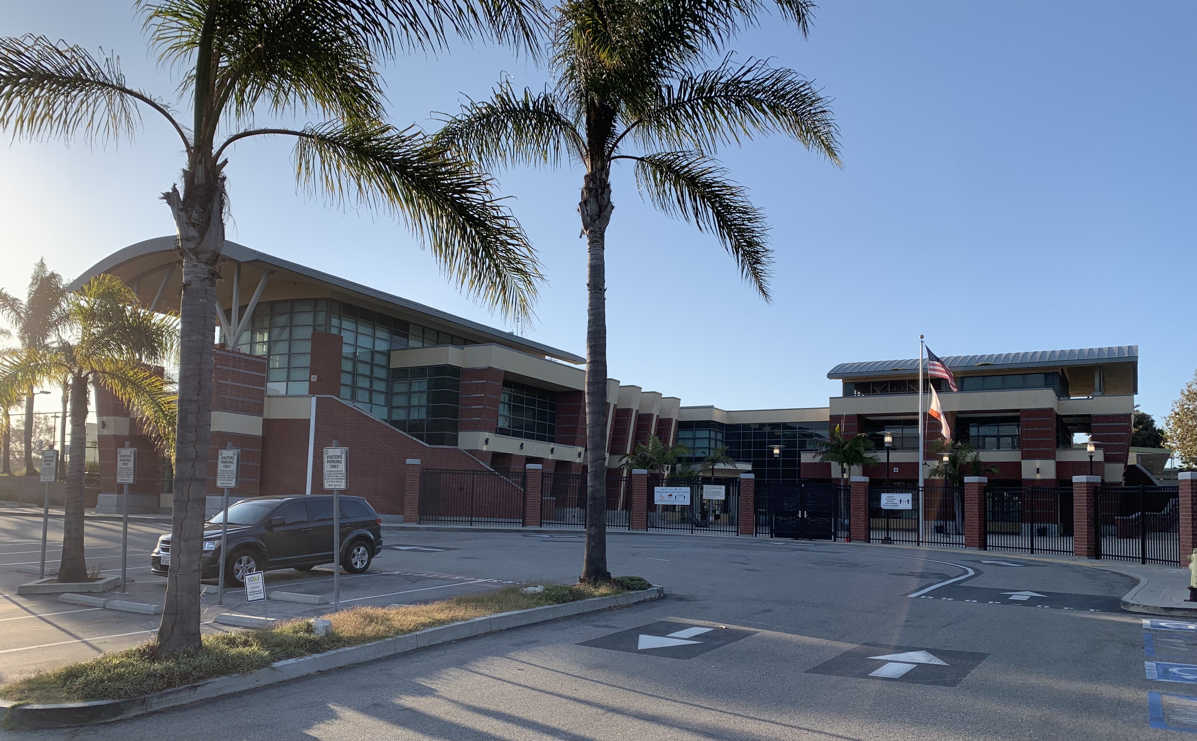
Rick Dickert knows. A certified broadcast meteorologist who contributes to Easy Reader, Dickert grew up surfing in the South Bay and attended Redondo Union High School. As a freshman during the 1982-83 winter, he watched massive surf breach King Harbor's breakwall in Redondo Beach, sending water crashing across the main channel and through the Portofino Hotel lobby. Hermosa Beach recorded nearly 30 inches of rain that season.
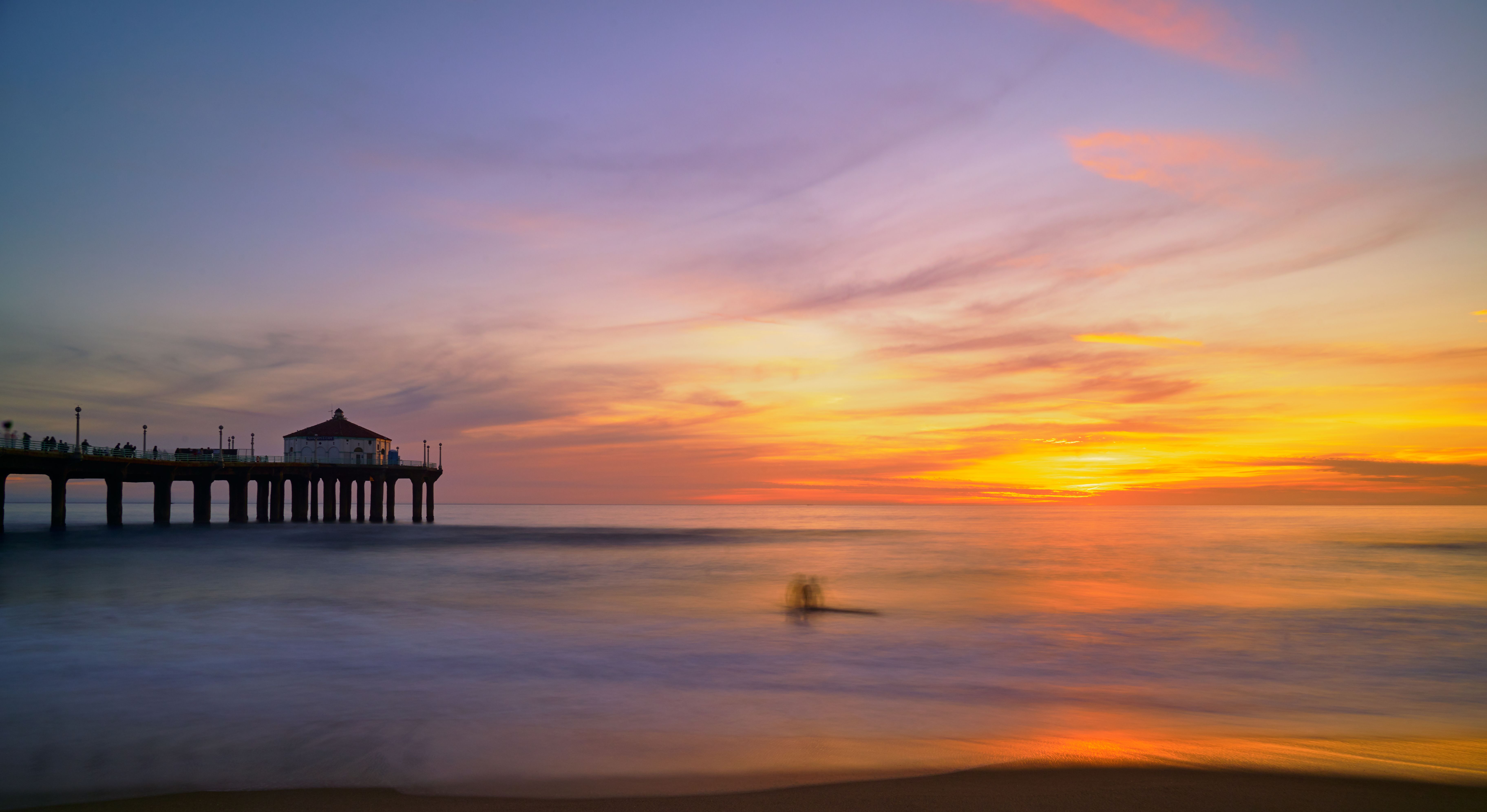
The stronger the El Niño, the further south the jet stream drops. In a typical year it flows over the Pacific Northwest; in 1983, it steered storms directly into the South Bay. If this event strengthens as forecast, Dickert expects powerful WSW-to-NW swells to hammer local beaches this winter.
Not every Super El Niño drenches Southern California
Of the four very strong events on record, the 1982-83 and 1997-98 winters brought destructive rainfall to Los Angeles (31.25 and 31.01 inches, respectively). The 2015-16 event produced just 9.65 inches. During the most recent strong El Niño in 2023-24, downtown L.A. received 155% of its typical annual rainfall, according to the LA Times.
NOAA's advisory acknowledged the variability, stating that even very strong El Niño events do not produce expected impacts everywhere, but stronger events tilt the odds more significantly.
Coastal flooding risk
NOAA oceanographer William Sweet warned that decades of sea level rise already have waters near the brim in many coastal communities. El Niño-driven Kelvin waves traveling up the West Coast raise sea levels further, pushing high tides and surf further inland than normal.
UC climate scientist Daniel Swain called a strong El Niño "the single biggest seasonal predictor of flooding in California."
Residents can track flood risk through NOAA's Coastal Inundation Dashboard, which provides real-time water level data and daily flood forecasts up to a year in advance. NOAA's next ENSO update is scheduled for Thursday, July 9.
"But the Redondo High grom in me predicts big waves and deep powder for the upcoming California winter," Dickert wrote.