A slow-moving ocean disturbance called a Kelvin wave could raise sea levels along the South Bay coast by up to a foot starting in early October.
The wave, linked to El Niño, would add months of elevated flood and erosion risk to beaches already battered by Hurricane Marie swells. Dillon Amaya, an assistant professor of marine, earth and atmospheric sciences at North Carolina State University who is tracking the wave, said it was near Puerto Vallarta, Mexico, on Tuesday, Sept. 15, Patch reported. He estimated it would reach Los Angeles County in early October.
"Six inches may not sound like a lot, but it can absolutely be a big deal," Amaya said.
The wave is not a tsunami or a visible wall of water. Amaya described it as a broad, shallow bulge in the ocean surface, hundreds of miles wide, that raises the baseline height of the sea closest to shore. Normal surf and swells then break on top of that higher starting point. A boater might not notice it passing, but the National Oceanic and Atmospheric Administration (NOAA) says the changes are measurable at tide gauges and from satellites.
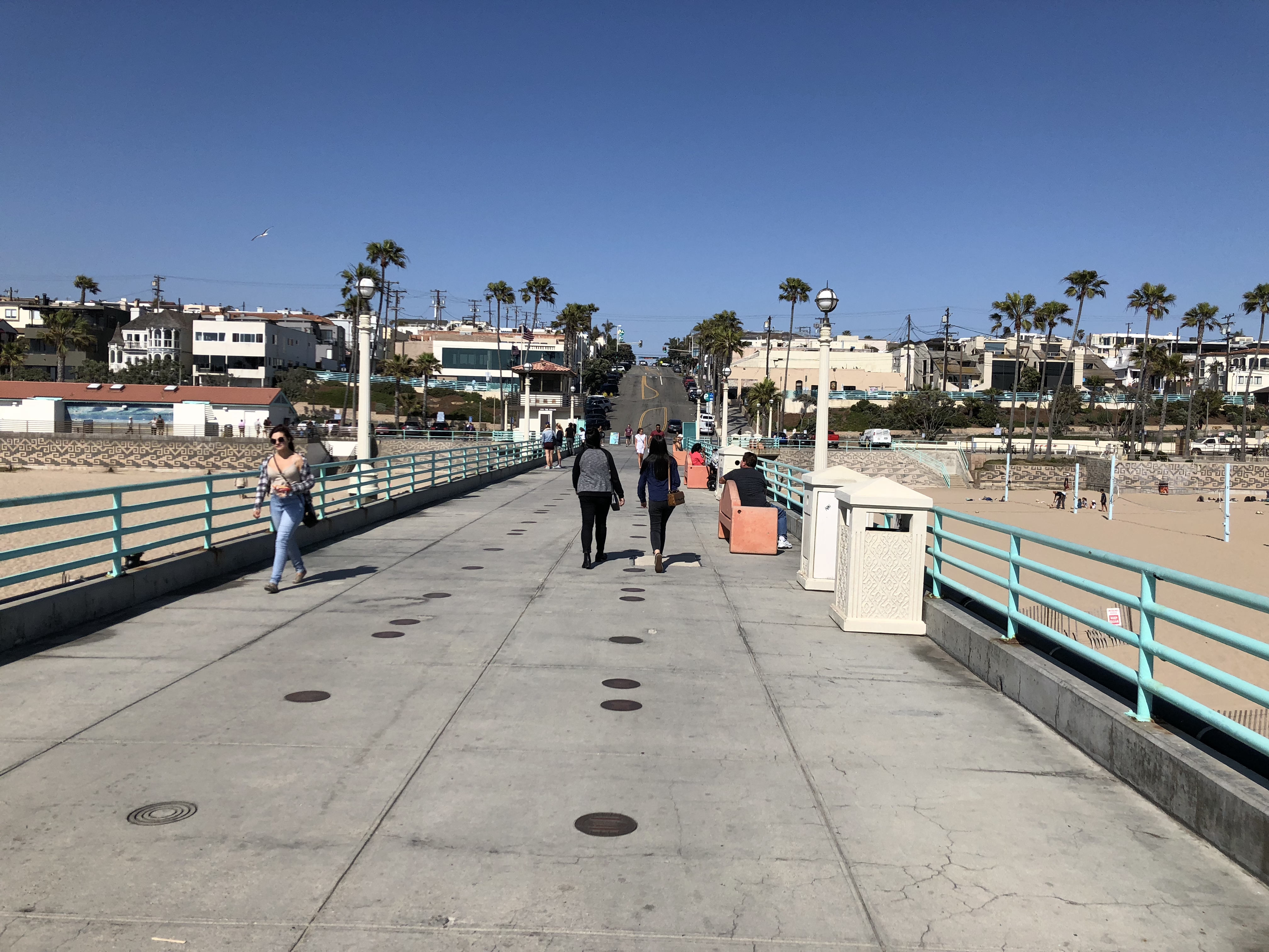
That matters for the Strand, Manhattan Beach Pier and other low-lying stretches of the South Bay. Manhattan Beach's emergency response plan lists the pier, the sewage pump station at 27th Street and the Strand, and beach parking lots as critical facilities inside the city's coastal inundation zone, which covers all beachfront property west of Highland Avenue.
Why a few inches matter
Amaya said a rule of thumb is that roughly every four inches of sea-level rise can double the flooding risk for low-lying coastal areas. The Kelvin wave raises the background sea level within about 12 to 19 miles of shore, and that elevated baseline can persist three to six months before the ocean relaxes to its previous level.
The timing is the concern. California's highest king tides arrive from November through January. If the Kelvin wave's effects linger into winter, the elevated baseline could overlap with king tides and storm swells.
Daniel Swain, a climate scientist with the University of California Agriculture and Natural Resources, warned on KTLA that the worst case would be all three lining up: Kelvin wave elevation, a peak king tide and a significant storm. He said that combination would "probably bring record-breaking coastal flooding this year."
Beaches already weakened
The South Bay coast is entering this stretch with less sand to absorb wave energy. A National Weather Service Coastal Flood Advisory covered El Segundo, Hermosa Beach, Manhattan Beach and Redondo Beach from Sept. 5 through Sept. 8 as Hurricane Marie swells hit the region. In Long Beach on Sept. 6, waves overtopped the seawall, flooded 12 garages and damaged one home badly enough to require shoring.
That buffer is gone in some spots. Amaya said erosion strips away the beach that normally shields buildings and roads from wave energy, leaving areas such as Long Beach more exposed to whatever comes next.
The Los Angeles Times reported that tides along the California coast are running 4 to 9 inches above the official forecast because of an ongoing marine heat wave unrelated to El Niño. Jonathan Warrick, a research geologist with the U.S. Geological Survey, told the Times that sections of the coast are likely to get a "one-two punch" from existing erosion and larger winter waves.
El Niño strengthens the threat
The Kelvin wave is a signature of El Niño, and NOAA expects conditions to strengthen through winter. An earlier Kelvin wave reached California in May and June, but NOAA said its effects were minor compared with what is expected this fall and winter.
Only 1.4% of California homes carry flood insurance of any kind, according to a Neptune Flood analysis cited by Insurance Business.
No South Bay city had issued a public statement about the incoming Kelvin wave as of Wednesday, Sept. 16.