South Bay beachgoers face four days of dangerous surf and coastal flooding starting Wednesday, July 29, as Hurricane Genevieve sends powerful swells toward the south-facing shorelines of Manhattan Beach, Hermosa Beach, and Redondo Beach.
The National Weather Service Los Angeles office issued two overlapping advisories: a high surf advisory from 5 p.m. Wednesday through 5 p.m. Saturday, August 1, and a coastal flood advisory from 5 p.m. Wednesday through 3 a.m. Saturday. A beach hazards statement is already in effect through Wednesday afternoon, before the higher-tier warnings kick in.
This is a step up from the surf-only advisories that hit the South Bay earlier this month. The added coastal flood advisory means seawater is likely to flood parking lots, beaches, and walkways around high tide, according to the NWS.
What to expect
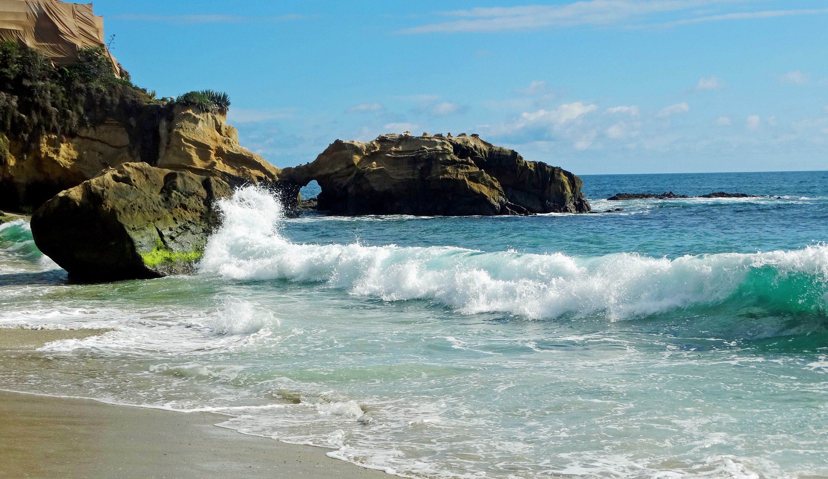
The NWS forecasts breaking waves of 4 to 8 feet with dangerous rip currents, concentrated on south-facing beaches exposed to the southerly swell. LA County Lifeguard Battalion Chief Derek Peters put the peak forecast higher.
"We're expecting eight- to ten-foot surf from Wednesday to Sunday and it's going to be busy with significant rescue activity," Peters told KTLA on Tuesday, July 28. "But we're ready for it."
High tides of 6.2 to nearly 7.0 feet will roll in during evening hours through Friday, July 31, with the highest tides peaking as the strongest swell energy from Hurricane Genevieve arrives Wednesday and Thursday nights. The NWS says the greatest risk of minor coastal flooding is Wednesday and Thursday evenings.
The storm briefly reached Category 5 status on Monday, July 27, before tracking west, away from the Southern California coast. Its energy is arriving as long-period swells that drive powerful rip currents and longshore currents.
The rescue numbers tell the story
LA County lifeguards made nearly 2,000 water rescues over the weekend of July 19–20, according to LA County lifeguard officials. That figure dwarfs the typical summer weekend average of 200 to 300 rescues. The NWS expects the southerly swell to build late Wednesday into Thursday.
How to stay safe
The NWS urges beachgoers to remain out of the water or stay only near occupied lifeguard towers. Additional guidance from the agency:
- Stay off rock jetties, which can be deadly in high-surf conditions.
- Do not drive around barricades or through water of unknown depth.
- If caught in a rip current, swim parallel to the shoreline to escape, then angle toward shore.
Heat is also returning. The NWS Area Forecast Discussion notes widespread moderate-to-high heat risk is likely Friday into the weekend, meaning crowds will be drawn to the beach at the same time conditions are most hazardous.
Conditions are expected to subside late Saturday into Sunday, August 2.
Advisory timeline
- Wednesday, July 29: Beach hazards statement in effect through the afternoon; high surf and coastal flood advisories begin at 5 p.m.
- Saturday, August 1: High surf advisory expires at 5 p.m.; coastal flood advisory expires at 3 a.m.