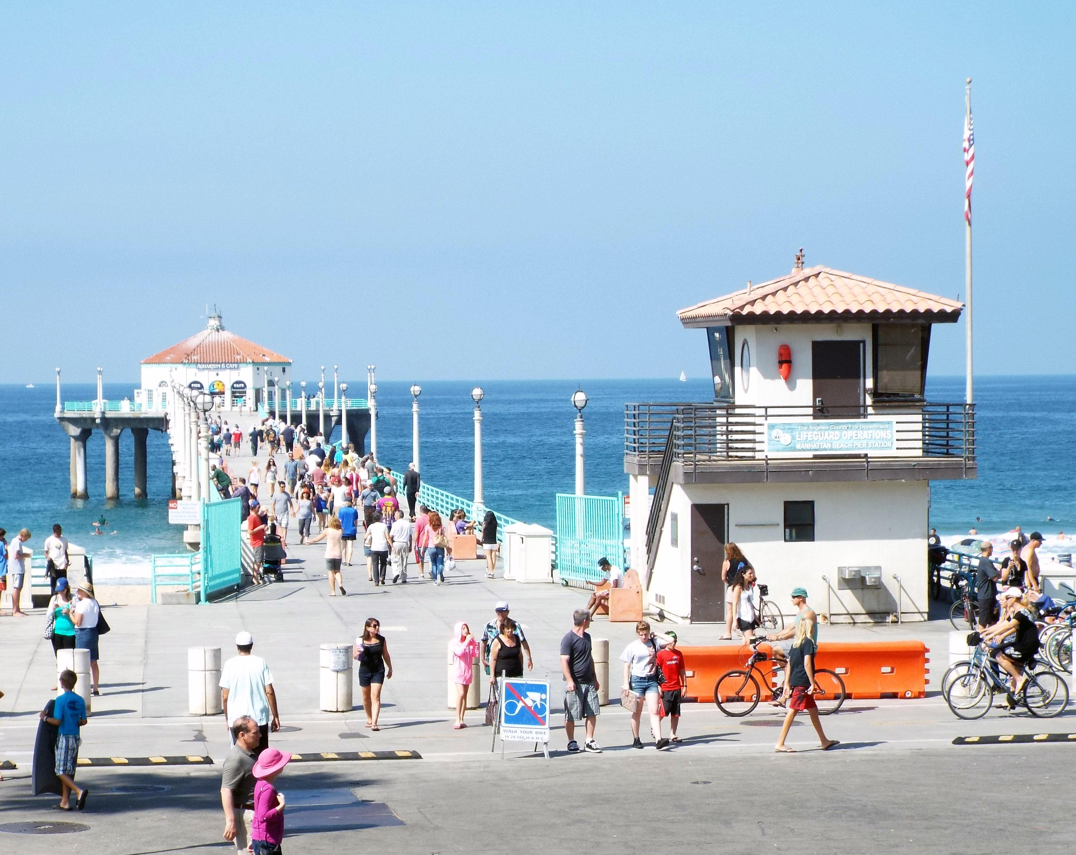
Tropical Storm Rachel is forecast to push dangerous surf, coastal flooding and rip currents into Manhattan Beach, Hermosa Beach and other South Bay shores Saturday and Saturday, Oct. 10-11, with the worst conditions expected Sunday.
The National Weather Service Los Angeles/Oxnard office has issued a Coastal Flood Advisory covering Los Angeles County beaches through 2 p.m. Tuesday, Oct. 13. The advisory warns of minor to moderate flooding, with isolated significant flooding possible on Sunday. Seawater could reach beach parking lots, bike paths and harbor walkways around high tide, as first reported by Patch.
Morning high tides of 7.0 to 7.6 feet are expected to coincide with long-period swells and additional waves generated by Rachel. An unusually cold upper-level weather system moving down the coast could add gusty winds and another swell from the west.
"It looks like Sunday is probably going to be the worst of it in terms of the combination of everything: surf, tides, winds, even rain," Bryan Lewis, a meteorologist with the National Weather Service Los Angeles/Oxnard office, told Patch.
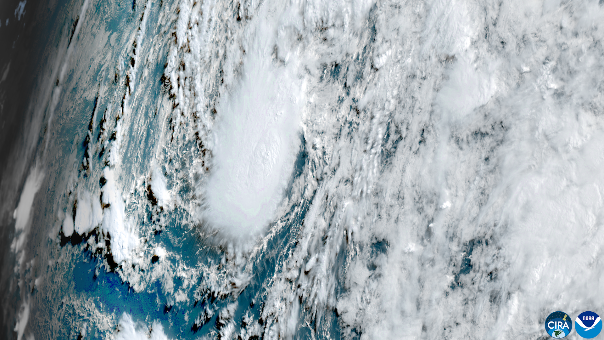
If Rachel makes landfall as a tropical storm, it would be the first to strike California since 1939, according to AccuWeather. However, forecasters noted the storm may weaken to a post-tropical system before reaching the coast. As of 2 a.m. Thursday, Oct. 8, Rachel had maximum sustained winds of 70 mph and was located about 895 miles west of the southern tip of Baja California, according to the National Hurricane Center's Advisory 45.
The storm's center will stay well south of Los Angeles County. Still, its moisture could affect much of Southern California. Lewis said LA County rainfall totals are most likely to range from a quarter-inch to three-quarters of an inch, with higher amounts possible in the San Gabriel and Santa Monica mountains. There is roughly a 10 percent chance of thunderstorms.
Lewis cautioned against comparing Rachel to Tropical Storm Hilary, which brought historic rainfall in August 2023. Hurricane Hilary was downgraded to a post-tropical cyclone before its center reached the United States.
Kyle Wheeler, a meteorologist with the National Weather Service San Diego office, said coastal flooding was already expected from high tides alone. Rachel's arrival will compound the threat. Wheeler said the region will likely see more moderate or significant impacts than previously forecast.
The advisory warns of an increased risk of ocean drowning. Rip currents can pull swimmers and surfers out to sea. Waves can wash people off beaches and rocks and capsize small boats nearshore.
The NWS urged residents to stay out of the water or remain near occupied lifeguard towers. The agency also recommends protecting vulnerable coastal property, avoiding flooded roads and staying away from exposed rocks and jetties.
Temperatures that reached 95 to 105 degrees in parts of the region Thursday, Oct. 8, are expected to drop into the 70s by Sunday or Monday, Oct. 12 or 13. Rain chances could continue through Tuesday night.
No South Bay-specific advisories from Manhattan Beach, Hermosa Beach or Redondo Beach fire or lifeguard departments were available as of Thursday, Oct. 8.
Residents can track Rachel through the National Hurricane Center and find local forecasts through the National Weather Service Los Angeles/Oxnard office.